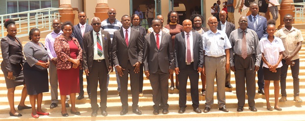
MMUST-DRSRS teams after the MoU signing.
Masinde Muliro University of Science and Technology has signed a Memorandum of Understanding (MoU) with the Directorate of Resource Surveys and Remote Sensing (DRSRS) in a bid to enhance research and programmes in Geographic Information Systems (GIS). The MoU, which is spearheaded by the School of Disaster Management and Humanitarian Assistance (SDMHA), was signed on Thursday, 29 February, 2024 by the Vice Chancellor-Prof. Solomon Shibairo and the Director-DRSRS, Dr. Moses Akali.
“We are happy to work with DRSRS, an affiliate of the Office of the President and a highly credible source of research data,” stated Prof. Shibairo adding that the two institutions will jointly advance top-notch technology in this area that can be utilized for security and economic development of the country. The Deputy Vice Chancellor (Academic and Student Affairs)-Prof. Hussein Golicha, echoed that he was pleased with the partnership, and that it will benefit all the eleven (11) Schools in MMUST.
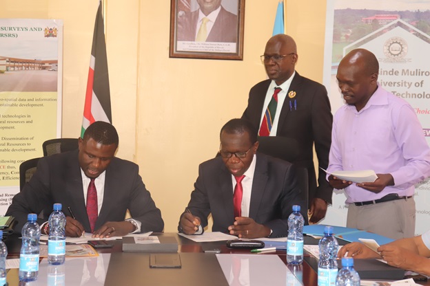
Vice Chancellor-Prof. Solomon Shibairo (seated right) and Director DRSRS-Dr. Moses Akali sign copies of the MoU.
Speaking during the ceremony, Dr. Akali pointed out that DRSRS’s collaboration with MMUST will certainly influence policy planning and decision making in Kenya, saying that the signing of this MoU will bring on board renowned organizations such as SuperMap. “This MoU advocates for training in remote sensing and food security, which resonate with the bottom-up agenda of the government. It will enable DRSRS staff to pursue Degrees and MMUST and for the University to make use of the resources at our institution,” said Dr. Akali. He added that there is a need to synergize the resources and expertise from both MMUST and DRSRS for the benefit of education and research in both institutions.
“I thank DRSRS for partnering with us. We look forward to working together on future projects and winning global grants. As a University, our strengths are hinged on research, academics, consultancy and community outreach. We hope that the MoU is going to jumpstart key processes in these areas,” stated Dr. Edwin Kanda, who was representing the Director of International Relations and Academic Linkages (DIAL), Dr. Umulkher Ali. DIAL is housed under the Division of Planning, Research and Innovation, headed by Prof. Charles Mutai.
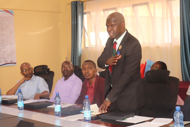
Dean-SDMHA, Dr. Ferdinand Nabiswa, gives his remarks during the MoU signing ceremony.
According to the Dean-SDMHA, Dr. Ferdinand Nabiswa, students will greatly benefit from this partnership, especially those pursuing Geographic Information Systems, Disaster Preparedness and Engineering Technology and Emergency Management and Humanitarian Assistance programmes. “One of our students, Mr. Awori Mark, had the opportunity to take part in the SuperMap GIS software training, organized by DRSRS. He was able to gain a lot of skills which he passed on to other students,” added Dr. Nabiswa.
In his presentation, Mr. Vincent Imala, a Geo-Information Officer, revealed that DRSRS is mandated with the collection, storage, analysis, updating and dissemination of geospatial data, as well as information on natural resources and the environment. “MMUST is one of the largest Universities in Western region and DRSRS is delighted to collaborate with you. We are involved in geospatial mapping, resource mapping for Counties, crop forecasting for food security and livestock/wildlife assessment and monitoring. The methods of data acquisition include remote sensing, aerial surveys and ground surveys,” said Mr. Imala.
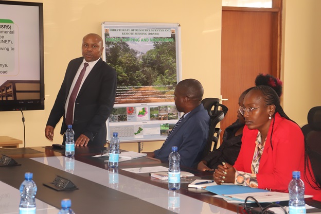
DRSRS’s Mr. Vincent Imala makes a presentation at the event.
Other notable staff from MMUST that were present at the MoU signing ceremony were; Prof. Pontian Okoth, Dr. Edward Mugalavai, Rev. Dr. Elijah Onyango and Dr. Betty Opilo. The event was also attended by SDMHA student representatives.
Such partnerships are critical to the research and training agenda of the University, especially in this digital era where Geographic Information Systems have the capacity to provide credible, verifiable and real-time information that organizations can rely on to make decisions. MMUST will certainly tap into this reservoir of information to boost research and programmes in GIS, as well as related areas.
By Dr. Lydia Anyonje and Wangari Wambugu
Photos by Wangari Wambugu