Experts from MMUST and Italy Conduct Geohazard Mapping to Strengthen Disaster Risk Reduction in the Nandi Escarpment and Maragoli Hills
As part of the ongoing SDMHA Summer School, MMUST in collaboration with partner institutions from Italy, conducted geo- hazard mapping and field-based geological assessments in the Nandi Escarpment and the Maragoli Hills. The exercise which took place on 15th July 2026, was aimed at enhancing scientific research, strengthening disaster risk reduction, and promoting evidence-based approaches to ensure safer and more resilient communities.
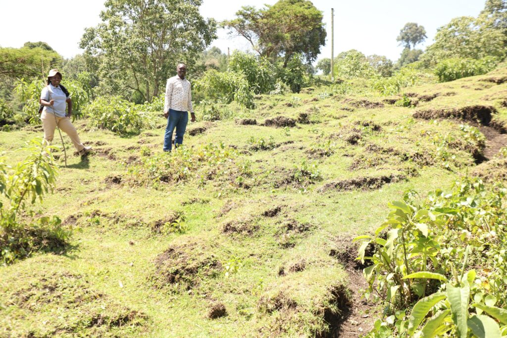
A section of the landslide at the Nandi escarpment
The team visited Ndururo Primary School, situated approximately 150 metres from a geological fault line, placing it within an area susceptible to geohazards. According to community stakeholders in this region, the locality experienced a significant landslide in 2022, whose effects remain evident. The landscape is still undergoing a natural recovery process, with visible signs of ongoing ground movement, including soil displacement and shifting vegetation. Similarly, the school has experienced recurring bubbling from the ground during heavy rainfall seasons. This has raised concern among the community, with fears that it could be associated with an underground gas whose composition and source remain unknown.
“The safety of our learners and the community at large is at stake. We call upon relevant government agencies and environmental experts to conduct detailed investigations to determine the nature of the reported gas and assess whether it poses health and environmental risks to this community,” they said.
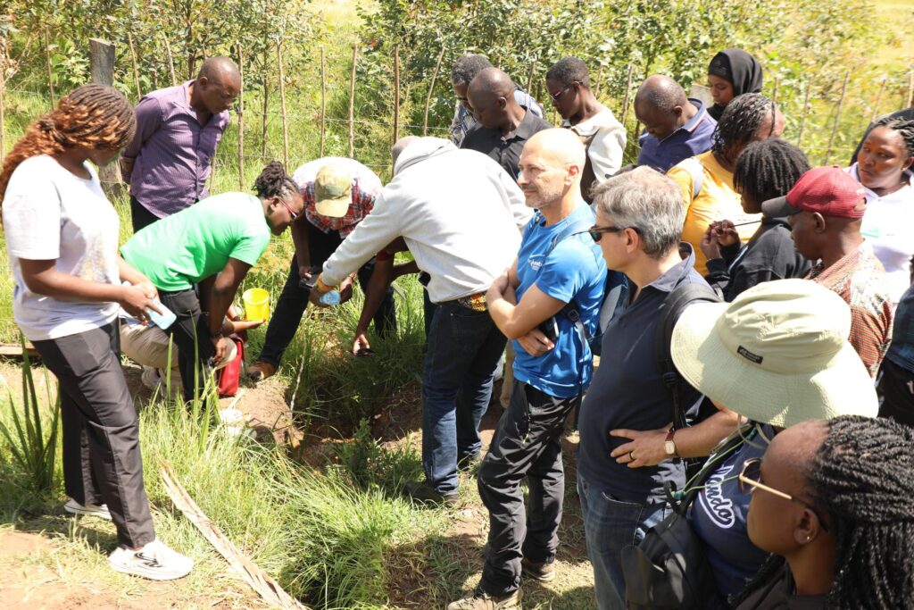
Researchers examine the bubbling ground at Ndururo Primary School.
Additionally, the researchers later visited the Maragoli Hills to assess the area’s geological and environmental characteristics. The visit provided participants with an opportunity to examine the region’s unique landscapes, identify potential geohazards, and gain practical insights into the relationship between geological processes, landscape evolution, and disaster risks.
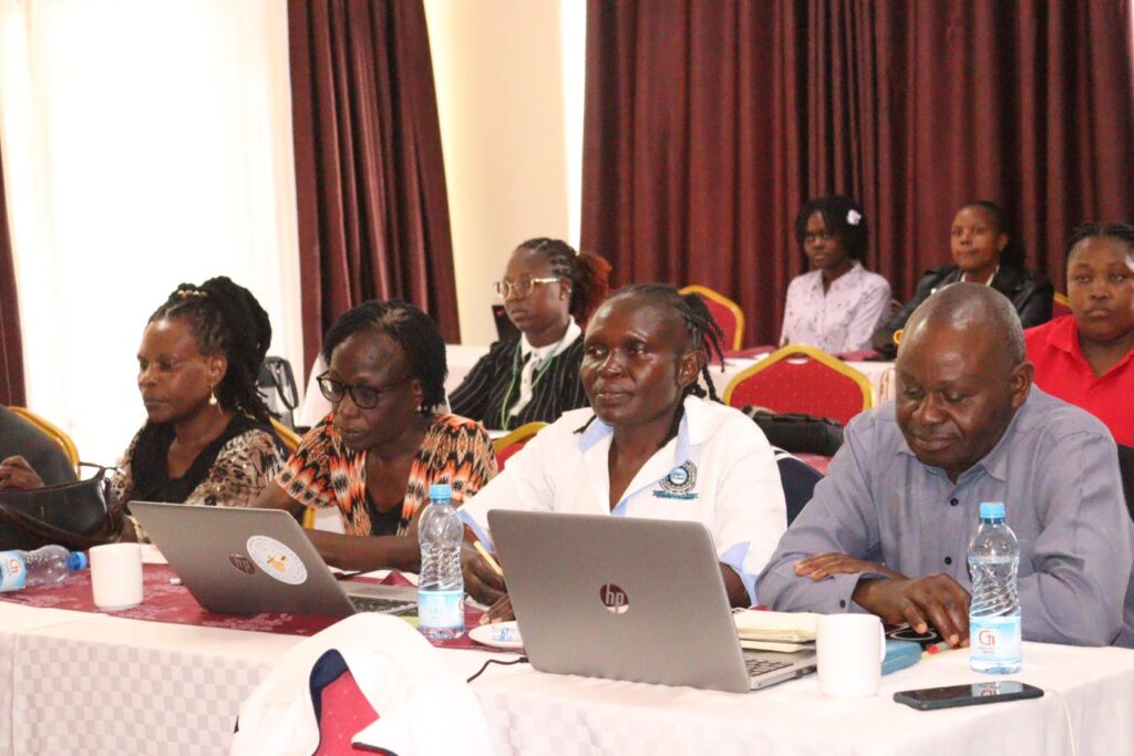
Ms. Janerose Kimuma with other SDMHA researchers at the event.
In preparation for the mapping exercise, one of the programme beneficiaries, Ms. Janerose Kimuma, a PhD student at the MMUST School of Disaster Management and Humanitarian Assistance, delivered a presentation titled ‘Impact of Land Use and Land Cover Changes on Landslide Occurrences in Selected Areas of the Lake Victoria Basin, Kenya.’ Her presentation highlighted the growing influence of land use and land cover changes on slope instability and the increasing occurrence of landslides in vulnerable landscapes. She emphasized that human activities such as deforestation, unsustainable agricultural practices, settlement expansion, and poor land management have significantly altered the natural environment. This has increased the susceptibility of many areas within the Lake Victoria Basin to landslides. Ms. Kimuma noted that integrating scientific research, geospatial technologies, and field-based observations is essential for effective hazard mapping.
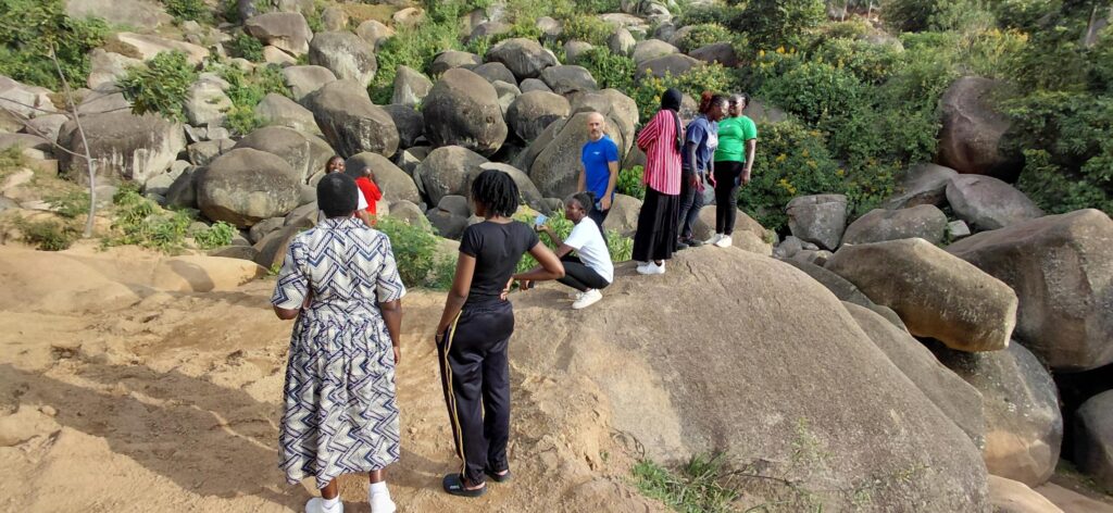
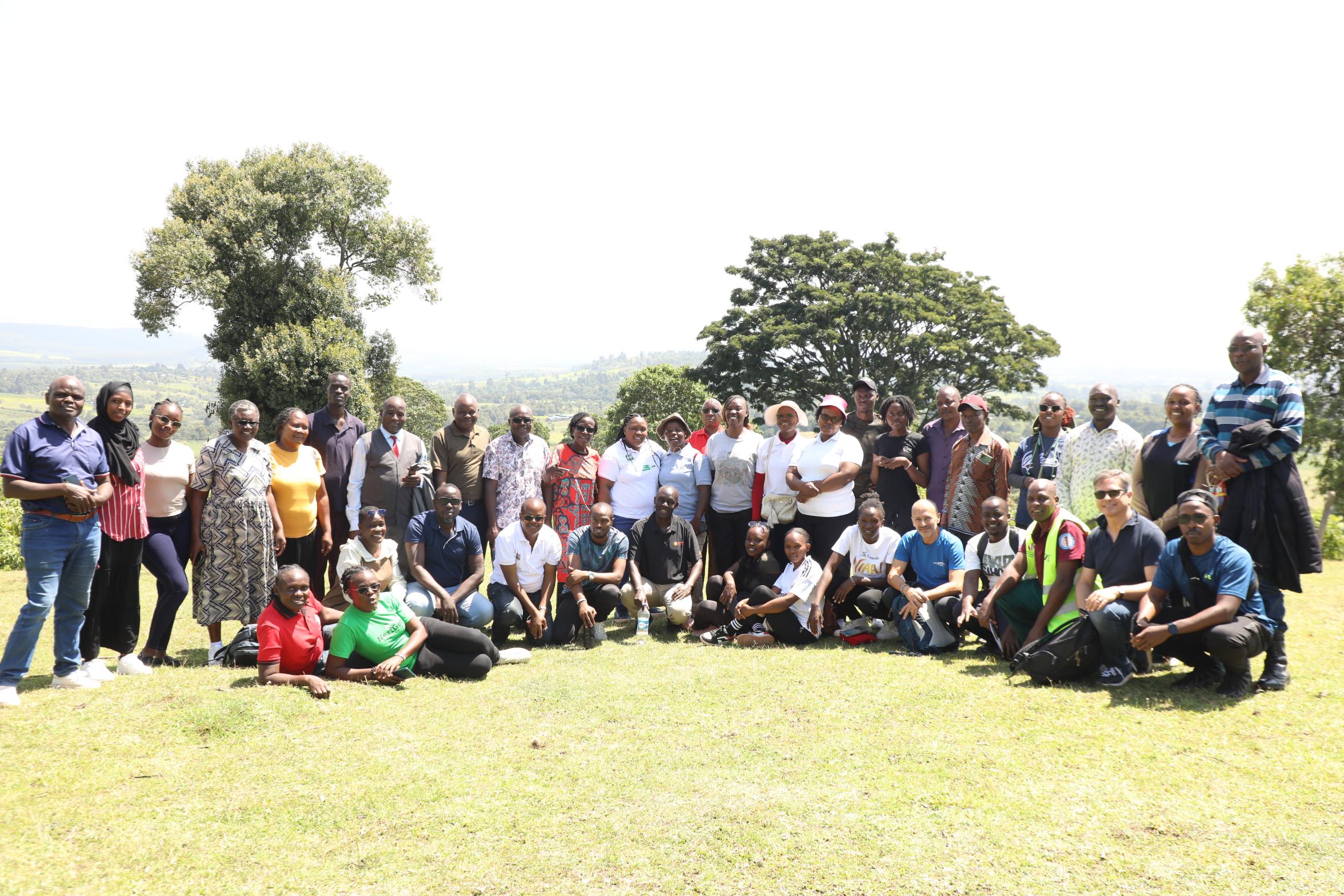
The researchers at Maragoli Hills.
The geohazard mapping exercise formed a key component of the Summer School experiential learning. It bridged classroom knowledge with real-world applications. By engaging participants in field-based scientific investigations, the programme is equipping the next generation of researchers and practitioners with the skills needed to address emerging environmental challenges and support sustainable disaster risk management.
By Linet Owuor
Photos by Wangari Wambugu